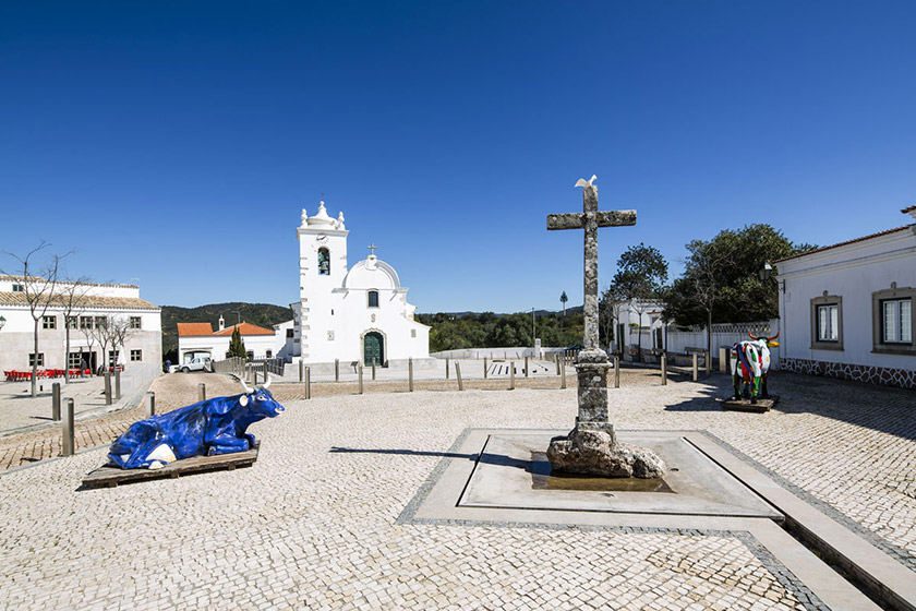
As a result of an application to the Environmental Fund, the municipality of Loulé, in partnership with the Serra do Caldeirão Forest Producers’ Association, has set up the Aldeia da Quintã Condominium in the interior of the municipality, an area with Medium and High Rural Fire Hazard and classified in the PMDFCI as forest, scrubland and pasture. This project to support villages located in forest areas aims to make human presence in rural areas more resilient and safer in the face of forest fires and the threat of climate change.
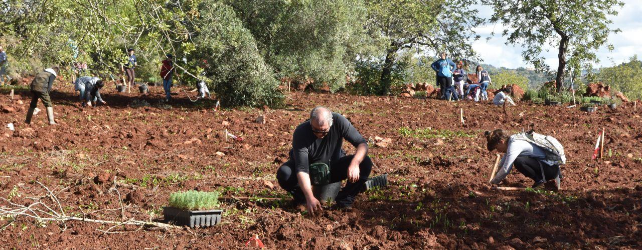
On the site, a forested area that has now been transformed into an agroforestry and pasture system, 490 trees of native species were planted, including mixed orchards made up of arbutus, carob, olive, pomegranate, fig and plum trees. In the riparian gallery, invasive species were removed and riparian plants such as ash trees were installed. Rejuvenation pruning was also carried out on some of the fruit trees along the watercourse. The aim was to sustainably maintain the area by restoring and upgrading the surroundings in order to promote the Mediterranean mosaic, which is resilient to rural fires, protects the area around the settlement and enhances local biodiversity.
To date, and as a result of the approval of a second line of funding, the Municipality of Loulé is implementing the “Condominium of Aldeia do Vale Maria Dias” (17 ha) and the “Condominium of Aldeia do Malhão” (36 ha), both in the civil parish of Salir. The interventions being carried out consist of the conversion and requalification of the surroundings of the Vale Maria Dias site and the Malhão site, in order to achieve a more diverse Mediterranean mosaic that enhances ecosystem services and is resilient to fires.
The Municipality of Loulé is still awaiting the outcome of another application for the creation of Village Condominiums involving the sites of Cortelha (31.38 ha), Montes Novos (33.59 ha) and Besteirinhos (14 ha), in the civil parish of Salir.